


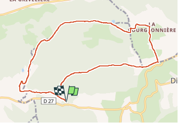

11,3 km | 15,6 km-effort


Usuario


Aplicación GPS de excursión GRATIS
 SityTrail
IGN / Institutos geográficos
SityTrail World
El mundo es suyo
Ruta Senderismo de 11,4 km a descubrir en Auvergne-Rhône-Alpes, Isère, Saint-Antoine l'Abbaye. Esta ruta ha sido propuesta por brigitBB26.
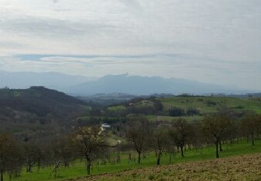
Stationner après le col de la Madeleine en direction dd St Bonnet de Valclerieux.
Départ Le Mouchet.
Senderismo

Senderismo
Senderismo
Senderismo
Senderismo
Senderismo

Paseo ecuestre
Paseo ecuestre
Senderismo